
Rural Mapping – Projection Mapping in Public and Natural Space
July 22, 2026
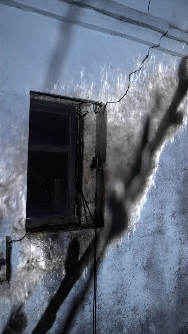
Projection mapping is almost always associated with a big-city context — illuminating a historic tenement building, a museum facade, a town hall wall. "Rural Mapping" is our series of installations that deliberately flips that context: it moves the same technique into Polish rural space — barns, cottage interiors, farmyards — places where real-time technology meets an aesthetic completely different from the urban one.
What this project is about
Rural Mapping combines three elements: professional local video footage shot directly in the given space, a real-time environment built in Unreal Engine 5, and procedural post-processing that builds a coherent, nostalgic visual mood. Together they form a multimedia installation embedded in its natural, rural surroundings — not detached from them.
The production process runs in three steps:
- Video footage — capturing the space in its natural state, the starting point for the whole production.
- Post-processing — procedural treatment of the footage that builds a nostalgic atmosphere and a coherent visual language.
- Projection mapping — the final projection returns to the place it came from, closing the narrative loop.
That last principle — the image literally returning to where it came from — is the heart of the whole project: this isn't generic animation pasted onto any available surface, but content built from a scan and footage recorded in that exact location.
Why natural, public space is a different challenge than a city building
A barn or timber farm building has completely different properties from a plastered facade: irregular texture, natural warping of the structure, material sensitive to intervention. The projection has to be designed to work with those properties, not against them — which is why an accurate scan of the object's geometry before any animation work is so important. More on why this method is also safe for protected heritage buildings — in our article on projection mapping on historic facades.
We cover the full production pipeline — from capture to premiere — in more depth in the article "Projection Mapping Step by Step", and a general explanation of the technique itself in "What Is Projection Mapping".
Full visual documentation of the project is available on the Rural Mapping project page.
See our projection mapping service for public and natural spaces.